
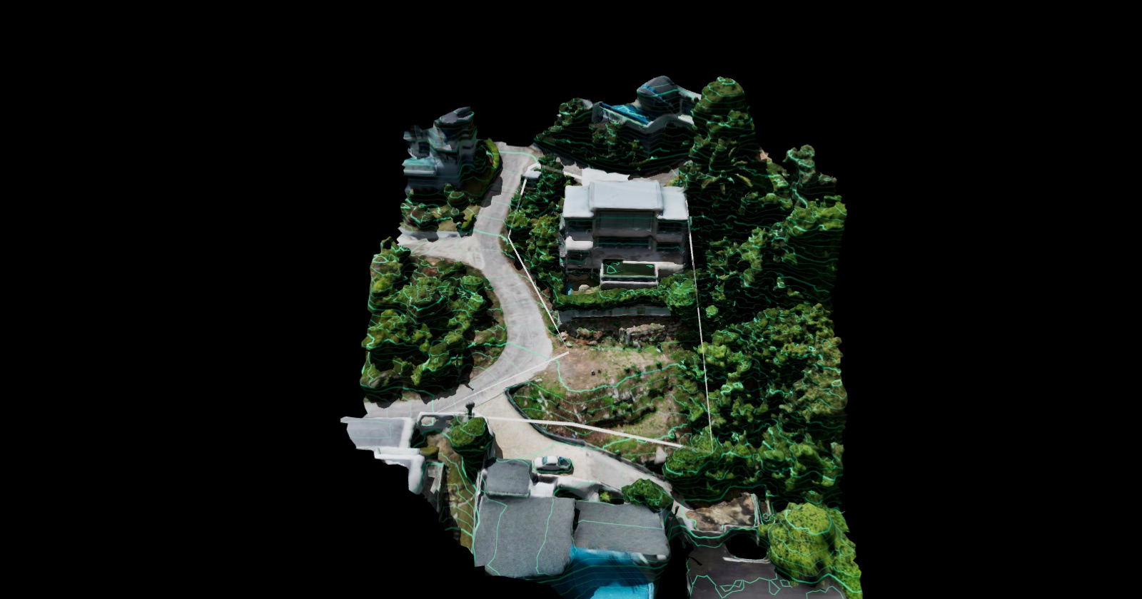
Villa Majesta
A hillside plot on Koh Samui, studied before design: drone photogrammetry, a LiDAR terrain model, elevation and slope analysis, and a sun path you can scrub through the day.
- Location
- Koh Samui, Thailand
- Coordinates
- 9.4930° N 100.0497° E
- Surfaces
- Photogrammetry · LiDAR
- Analysis
- Elevation · Slope · Contours
- Accuracy
- Planning grade
Surface
Layers
Analysis
Camera
Tools
Aerial survey and LiDAR by EASY SCAN. Accuracy is for planning and design decisions — this is not a cadastral survey, and the plot boundary is approximate.
How to read it
Four ways to look at the land
- 01
Two surfaces
Photogrammetry shows the site as it looks from the air, trees and structures included. LiDAR gives a more accurate terrain surface.
- 02
Elevation and slope
Switch the analysis layer to read relative levels inside the plot, or slope classes from level to very steep.
- 03
Contours and measuring
Turn on contours at a fixed interval, or click two points to read distance, horizontal distance and height difference.
- 04
Sun through the day
Move the time and month to see shadows and the sun path across the plot — useful for siting, orientation and views.
Get started
Want a study like this for your land?
Send the location and size of your plot — we will tell you which surfaces and analysis fit your project.