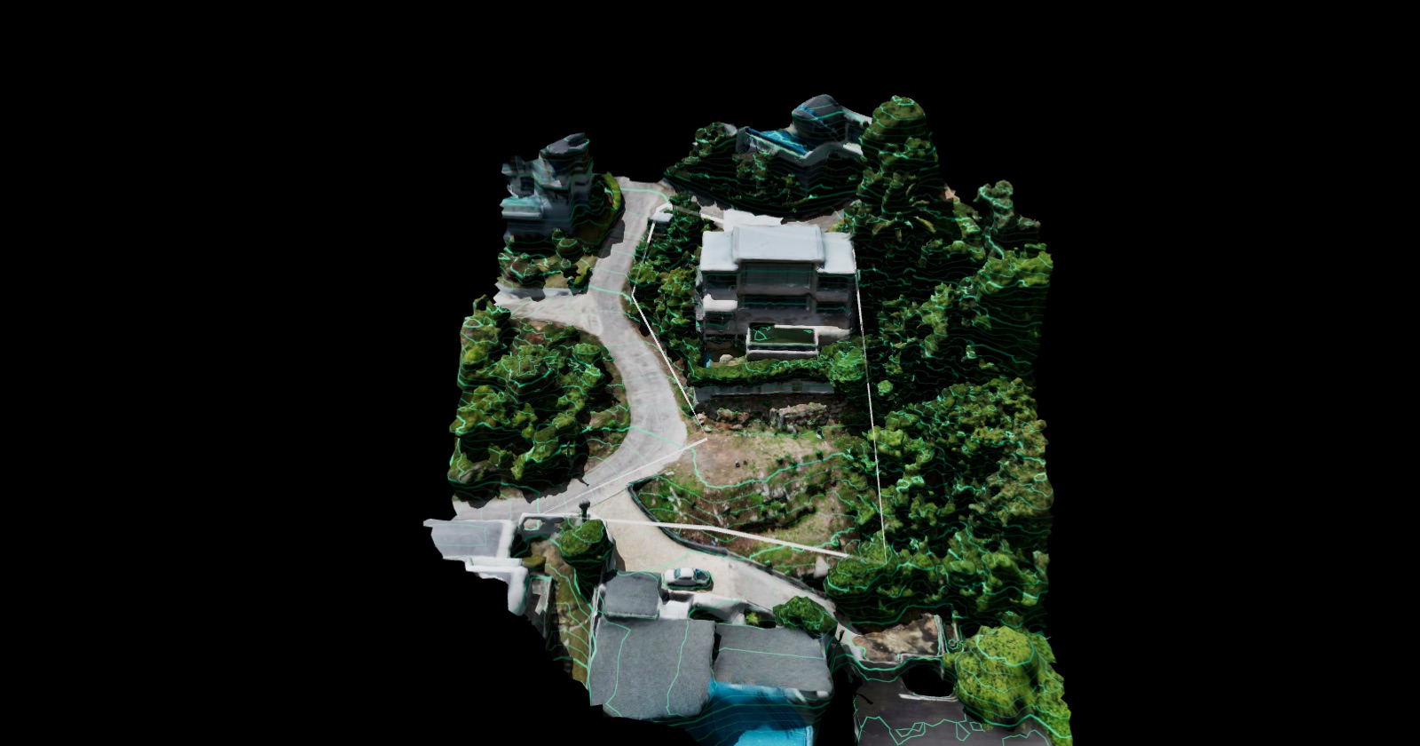
 Open case
Koh Samui
Villa Majesta
A hillside plot studied before design: elevation and slope maps, contours, measurement and a sun path through the day.

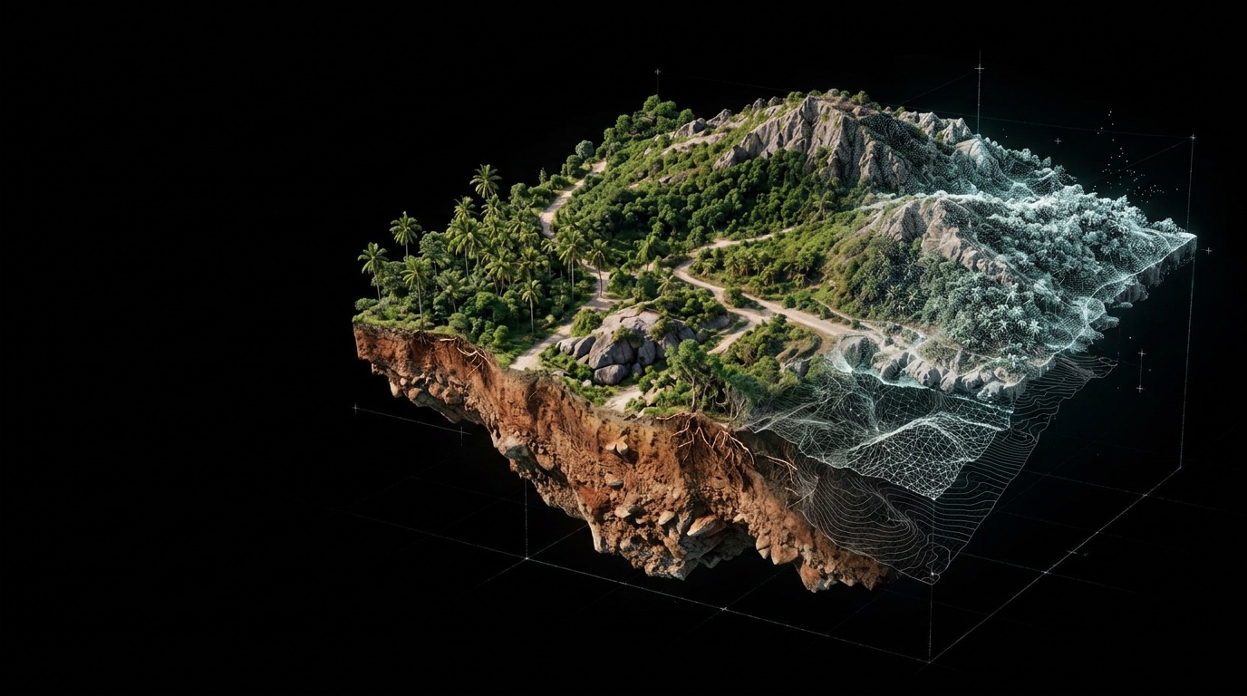
Real sites, scanned and modelled. Each case opens as an interactive 3D study you can explore in your browser.
Cases
Drone photogrammetry, LiDAR terrain, slope and elevation analysis, contours and sun studies — shown on the real land.
Open case
Get started
Send the location and size of your plot — we will tell you which surfaces and analysis fit your project.