
11 Rai, Haad Yao
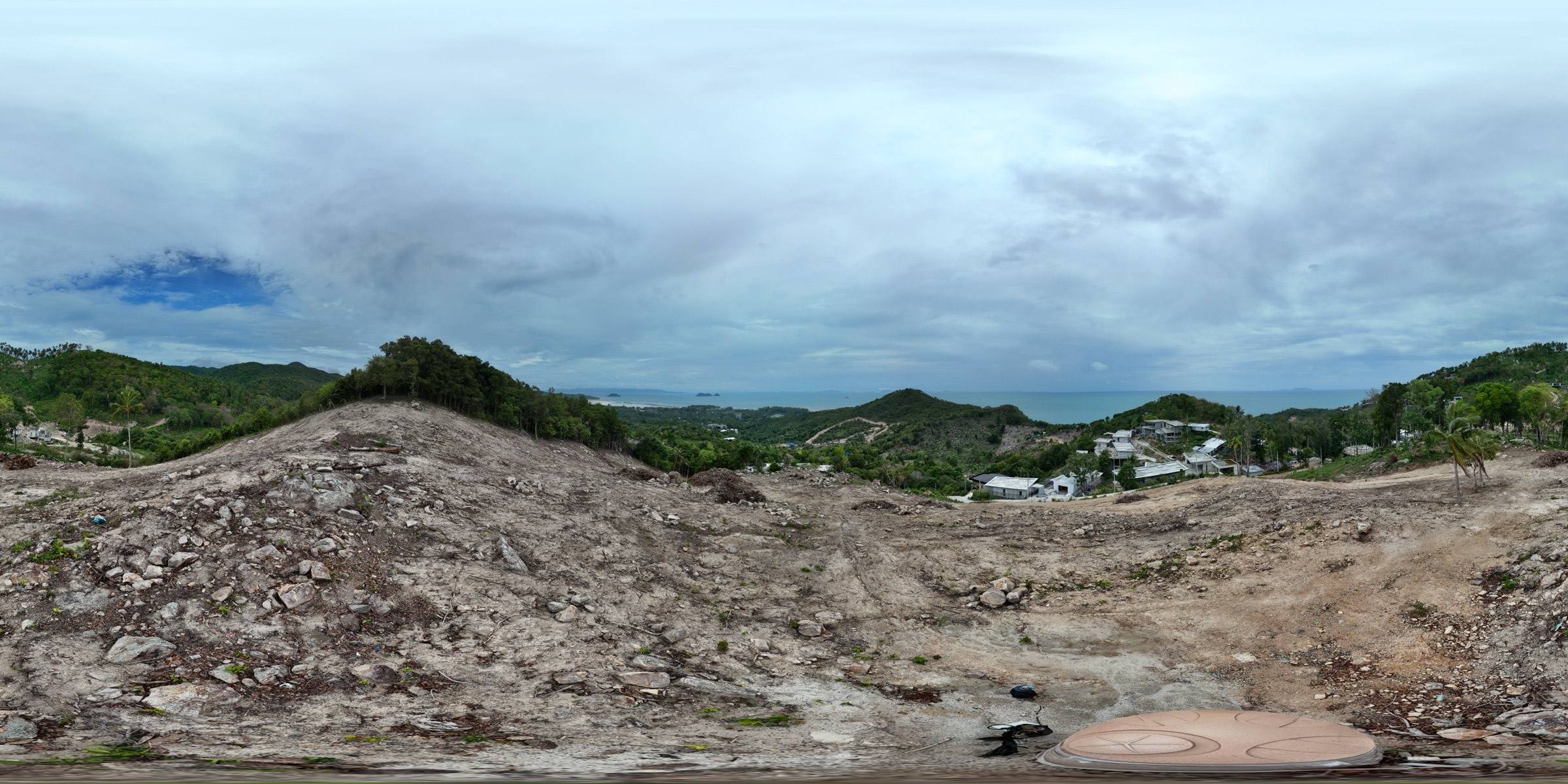
A large hillside plot above Haad Yao on Koh Phangan, studied before design: drone photogrammetry, elevation and slope analysis, a sun path through the day, and a third-party topographic survey you can switch on as an overlay.
- Location
- Haad Yao, Koh Phangan
- Coordinates
- 9.7735° N 99.9749° E
- Plot area
- ≈ 17,975 m²
- Surfaces
- Photogrammetry · Survey overlay
- Analysis
- Elevation · Slope · Contours
- Accuracy
- Planning grade

Layers
Analysis
Camera
Tools
How to read it
Four ways to look at the land
- 01
Photogrammetry
A textured model of the real hillside as it looks from the air, with access road, rock outcrops and clearing included.
- 02
Elevation and slope
Switch the analysis layer to read relative levels inside the plot, or slope classes from level to very steep.
- 03
Survey overlay
Switch on the topographic survey drawn by another company and check its contours, boundary and spot heights against our 3D model, in place.
- 04
Sun through the day
Move the time and month to see shadows and the sun path across the plot — useful for siting, orientation and views.
Your project
See your site clearly.
Share your site’s location, approximate area and what you’re planning. We’ll help you choose the right survey, 3D model and analysis for your project.