 View project
Koh Samui, Thailand
Villa Majesta
Explore a hillside site in 3D, with elevation and slope maps, terrain contours, measurement tools and a sun path simulation.

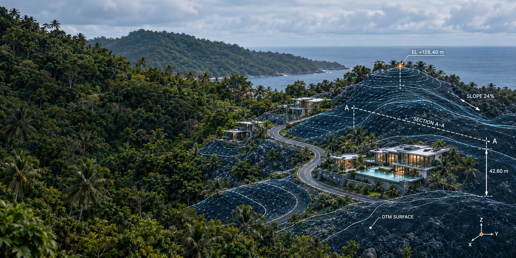
Take a closer look at real sites captured by EASY SCAN and explore them in interactive 3D. See how terrain, slopes and elevations come together to reveal a clearer picture of each location — helping you understand the land and make informed decisions about what comes next.
Our work
From site capture to terrain analysis, explore how we turn real places into digital environments you can navigate, measure and understand.
View project
Your project
Share your site’s location, approximate area and what you’re planning. We’ll help you choose the right survey, 3D model and analysis for your project.