
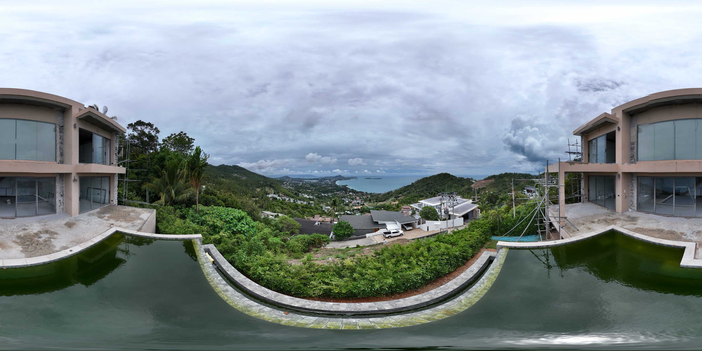
Villa Majesta
A hillside plot on Koh Samui, studied before design: drone photogrammetry, a LiDAR terrain model, elevation and slope analysis, and a sun path you can scrub through the day.
- Location
- Koh Samui, Thailand
- Coordinates
- 9.4930° N 100.0497° E
- Plot area
- ≈ 1,300 m²
- Surfaces
- Photogrammetry · LiDAR
- Analysis
- Elevation · Slope · Contours
- Accuracy
- Planning grade

Surface
Layers
Analysis
Camera
Tools
Aerial survey and LiDAR by EASY SCAN. Accuracy is for planning and design decisions — this is not a cadastral survey, and the plot boundary is approximate.
How to read it
Four ways to look at the land
- 01
Two surfaces
Photogrammetry shows the site as it looks from the air, trees and structures included. LiDAR gives a more accurate terrain surface.
- 02
Elevation and slope
Switch the analysis layer to read relative levels inside the plot, or slope classes from level to very steep.
- 03
Contours and measuring
Turn on contours at a fixed interval, or click two points to read distance, horizontal distance and height difference.
- 04
Sun through the day
Move the time and month to see shadows and the sun path across the plot — useful for siting, orientation and views.
Your project
See your site clearly.
Share your site’s location, approximate area and what you’re planning. We’ll help you choose the right survey, 3D model and analysis for your project.