
Who we are
EASY SCAN turns physical land into accurate, understandable and interactive digital environments — a decision-making layer between raw land and future development. We cover the full workflow, from scanning and processing to training and consultation, using LiDAR where it genuinely adds value and capturing detail accurate enough to support precise development decisions.
Timeline
From personal project
to land intelligence
What started as an experiment in capturing real environments evolved into a technology-driven approach to understanding, planning and transforming land.
- 2020
Personal project
3D scanning and digital capture of real environments begins on Koh Phangan.
- 2023
Professionalisation
The service moves toward construction, architecture and land development. SMART Visa preparation stage.
- 2024
First 2-year SMART Visa
Professional expansion, industry events and work beyond Koh Phangan.
- 2026
Renewed endorsement
SMART Visa recognition renewed for the next two years; focus expands to digital twins, concept testing and monitoring.
SMART Visa
An officially
recognised startup
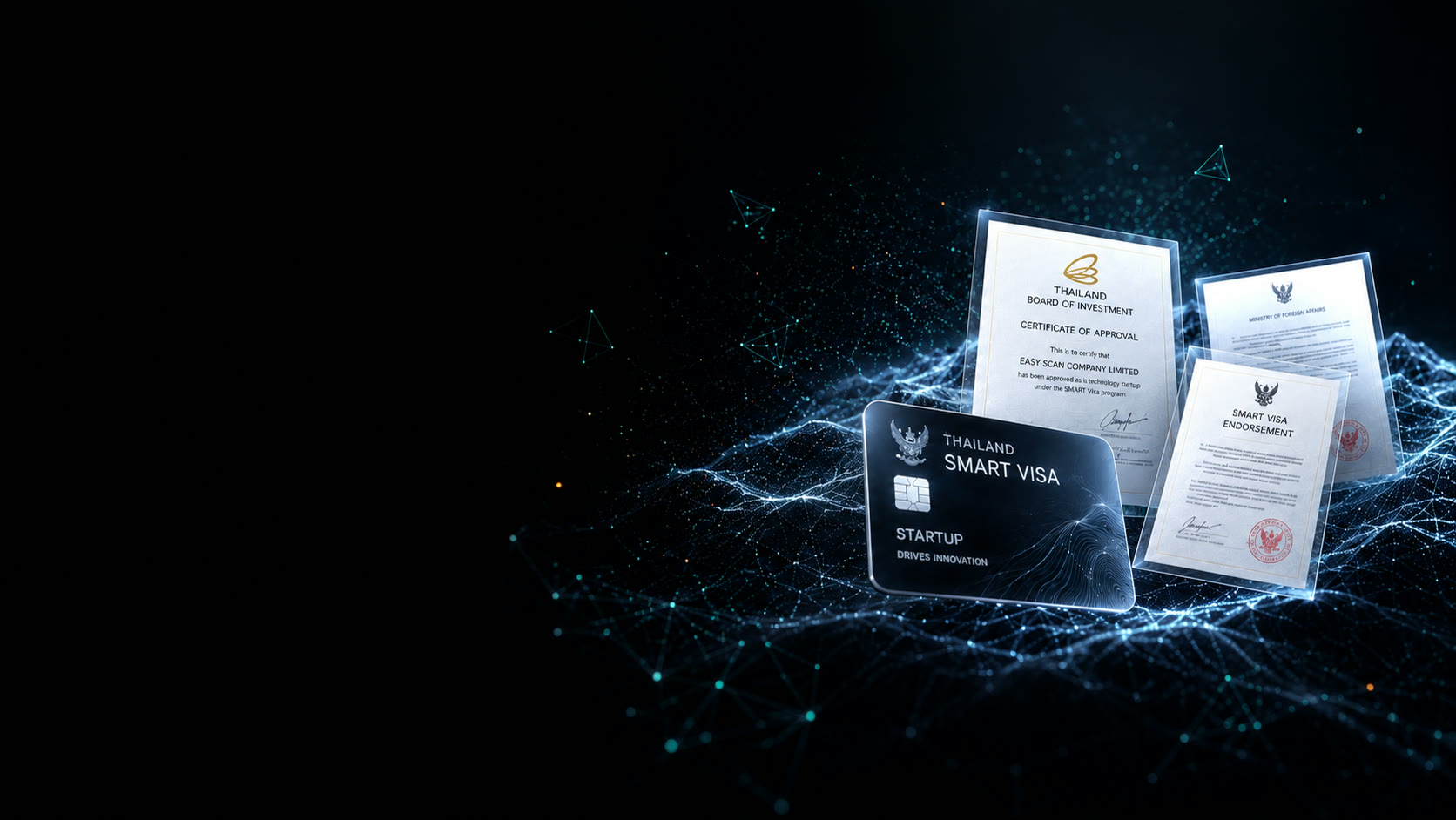
EASY SCAN is recognised as a technology startup within Thailand's SMART Visa framework, supported through the relevant government evaluation process. In 2026 that recognition was renewed — a continuation of long-term commitment to advanced digital technology for land development.
Recognition within the startup and visa framework is not a surveying licence. For legal boundaries and certified topographic surveys, a licensed surveyor or the relevant Thai authority is required.
Team
The people behind
A small multidisciplinary team combining technology, business and development expertise to turn complex land data into practical solutions.


Chief Commercial Officer Aleksandra Gorokhova

Sales Director Pavel Andreev
Work with us
Start with the land
Send the location and size of your site. We will recommend the right package and respond within 24 hours.