Test
your ideas
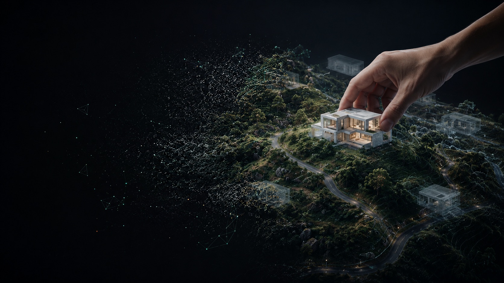
Every landscape has unique challenges, from slopes and vegetation to access and drainage, that 2D plans cannot fully reveal. EASY SCAN transforms real land into immersive 3D environments using LiDAR, drone mapping and Gaussian Splatting, allowing architects, developers and landowners to explore the terrain and test ideas before construction begins.
Designed to reduce uncertainty
A decision-making tool,
not just a picture
Boundary lines, elevation changes, slope analysis, environmental context and alignment with official 2D maps are visualised together in one connected workflow. Future buildings are positioned on the scanned terrain to understand views, access, proportions and construction limits.
- 01
Terrain understanding
Explore real slopes, elevation, rocks, vegetation and access before construction begins.
- 02
Boundary & map alignment
Combine scanned terrain with official 2D maps and boundary information in one environment.
- 03
Real-world concept testing
Place buildings on the exact terrain and test layouts, positioning and spatial relationships in 3D.
- 04
Smarter decisions
Reduce uncertainty, improve communication and avoid costly mistakes during planning.
The idea
Move it. Change it.
Test it. Before you build.
Order a 3D scan of your site and test development scenarios in real context. Send the location and size to begin.