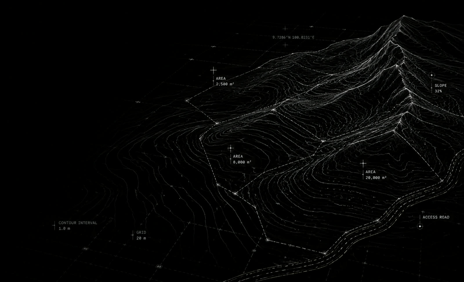
Dark 3D contour model of land parcels with area and slope readouts

Pricing

Rates for land scanning, 3D modelling and site visualisation across Koh Phangan, Koh Samui and Phuket. Get an instant estimate by land area below, or request a quote for larger and multi-site projects.

Scroll

Estimate

Estimate by land area

Choose a service and move the slider to your plot size. Figures are indicative and confirmed after a site review.

Terrain

Slope of the land, from flat to steep.

Vegetation

Ground accessibility and vegetation density.

Type

Detailed ground and terrain capture.

Terrain
Flat
Vegetation
Clear
Type
LiDAR
1 rai (≈ 1,600 m²)
Estimated price 12,500 THB 1 rai · flat · clear vegetation · LiDAR

Indicative estimate based on land size and selected conditions. Final price may vary after a quick site review, depending on access, obstacles and required deliverables.

Add-ons

Add to your project

Extend your site scan with additional data, visualization and development services.

360° Panorama From 3,000 THB High-resolution 360° site view for presentation, planning and visual reference. Additional view +1,500 THB
Concept Session 2h · 10,000 THB Work directly with your 3D site model to test building positions, volumes, levels and development ideas.
Architect Data From 5,000 THB Additional terrain data preparation, contours and project-specific exports for architects and designers.
Digital Twin From 15,000 THB An immersive digital representation of the real site combining spatial data and visual capture. Gaussian Splatting / 3D capture
Monitoring Custom quote Repeated 3D site capture to document construction progress and preserve a digital record of what has been built.

Get started

Tell us about your site

Send the location and size of your land. We will confirm the price and respond within 24 hours.